
The country of Argentina derives its name from the Latin argentum, meaning silver. The first use of the name “Argentina” can be traced back to the journeys made by Portuguese and Spanish conquistadors in the 16th century. Their inspiration was the enormous, shining mouth of the Río de la Plata, which translates as “River of Silver”. Therefore, the Argentina rivers that comprise the Río de la Plata basin are an important part of Argentina’s geography and history.
The Río de la Plata: The confluence of major Argentina rivers
Many Argentina rivers empty into the Atlantic Ocean via the Río de la Plata estuary. It is so wide, some geographers consider the mouth of the river to be a large bay or marginal sea. For those who define it as a river, it is the widest river in the world, measuring 220 kilometers across. Its entire basin stretches from southern Brazil across to the Andes, taking in the entirety of Paraguay, Uruguay, and a large part of Argentina. The major rivers which feed the de la Plata are the Paraguay, Uruguay and the Paraná. Together, they form one of South America’s most important river systems.
The Paraguay
The Paraguay River defines the border between three South American countries. The source of the Paraguay River is in Brazil, marking the border between Brazil and the country of Paraguay. The river then enters Paraguay itself, stretching the length of the country from north to south. Towards its confluence with the Paraná River, the Paraguay demarcates the frontier between Paraguay and Argentina. The Paraguay River is crucial to the economy of Paraguay and northern Argentinian cities such as Formosa, as it provides an important corridor to the Atlantic Ocean for trade.
The Uruguay
The Uruguay River the other of the Argentina rivers that defines a border between three South American states. Beginning in the coastal mountain ranges of southern Brazil, the Uruguay River flows southwestward, marking the border between Argentina and Brazil, as well as Argentina and Uruguay. The Uruguay River combines with the Paraná River just above the Argentinian capital Buenos Aires, before flowing into the great mouth of the de la Plata.
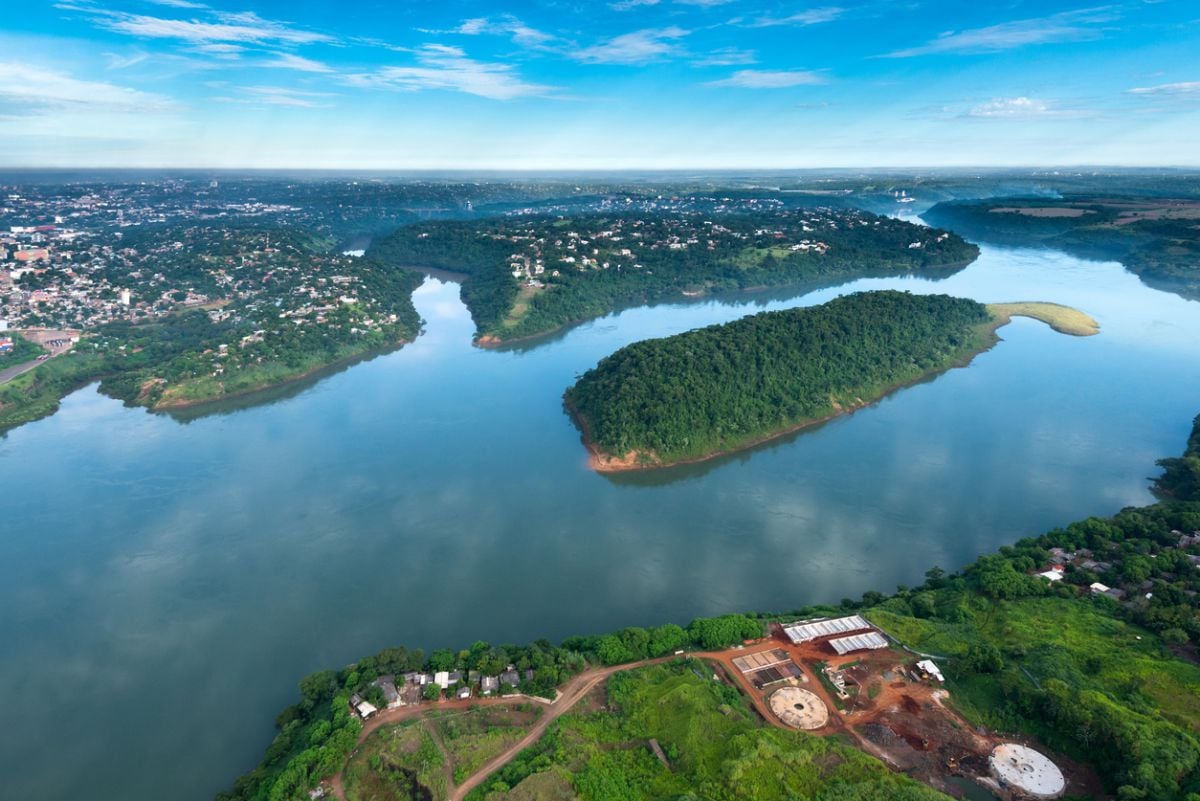
The Paraná
The Paraná River is the second longest river in South America, after the Amazon. The river begins on a plateau in southeast Brazil. The river then flows south for a colossal 4,880 kilometers before it joins the extensive Río de la Plata estuary. Further upstream, the Paraná’s significant tributaries also include the Paraguay, the Titetê, and the Iguazú, which includes the famous Iguazú Falls. Formerly, the northern strait of The Paraná was marked by the Guaíra Falls. However, this massive network of waterfalls was completely submerged by the construction of the Itaipú dam in the 1980s.
Other rivers of the Río de la Plata basin
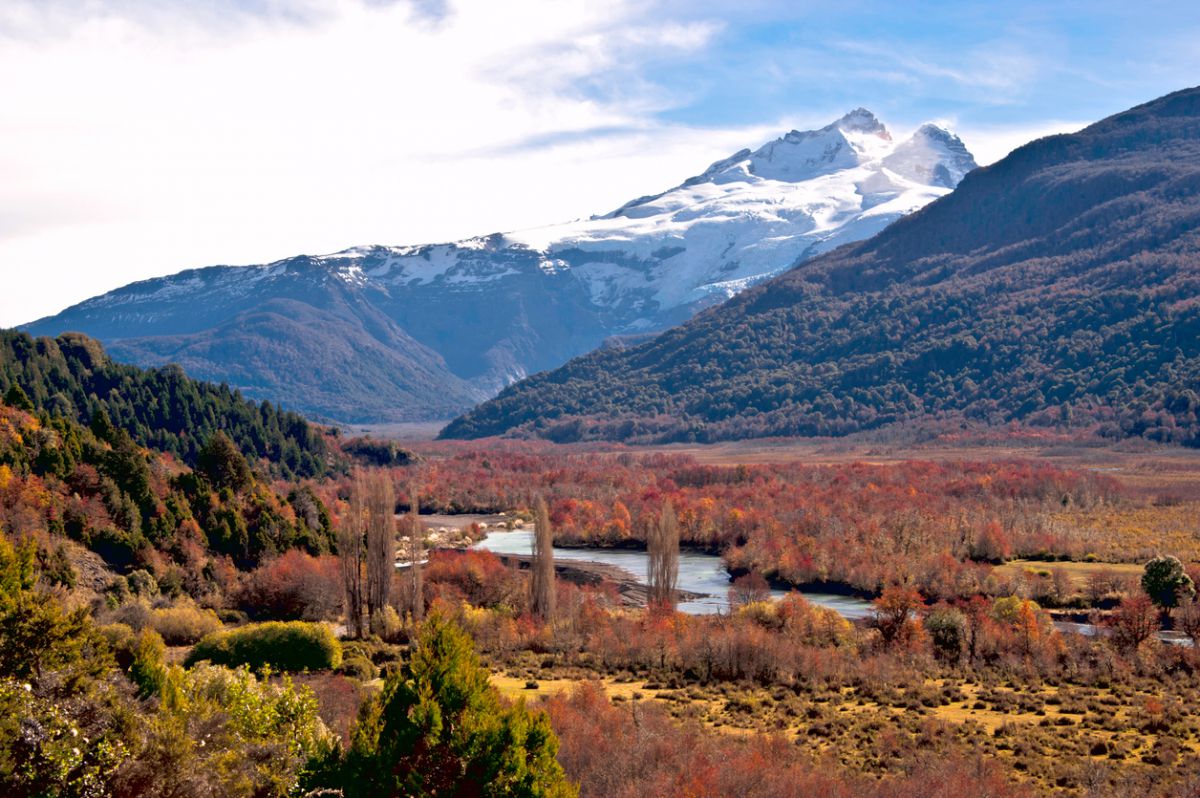
Aside from these major Argentina rivers, there are several other significant waterways which comprise the Río de la Plata basin. These include the Río Colorado, which makes up the northern boundary of Patagonia; the Río Salado in northern Argentina; and the Río, which flows through Patagonia from the Chilean Andes.
The Río de la Plata basin contains some of the world’s most spectacular geographical features, including Patagonia. To start planning your Argentinian adventure – or to get a few more ideas – take a look at our brochures.
You may also like…

No comments yet
There are no comments on this post yet.
Leave a comment